Navigation and safety bylaws
Bylaws are discrete pieces of law created by councils that specifically apply to a district.

These locally applicable forms of legislation deal with district-specific issues that are not already covered by any existing Acts of Parliament or Regulation.
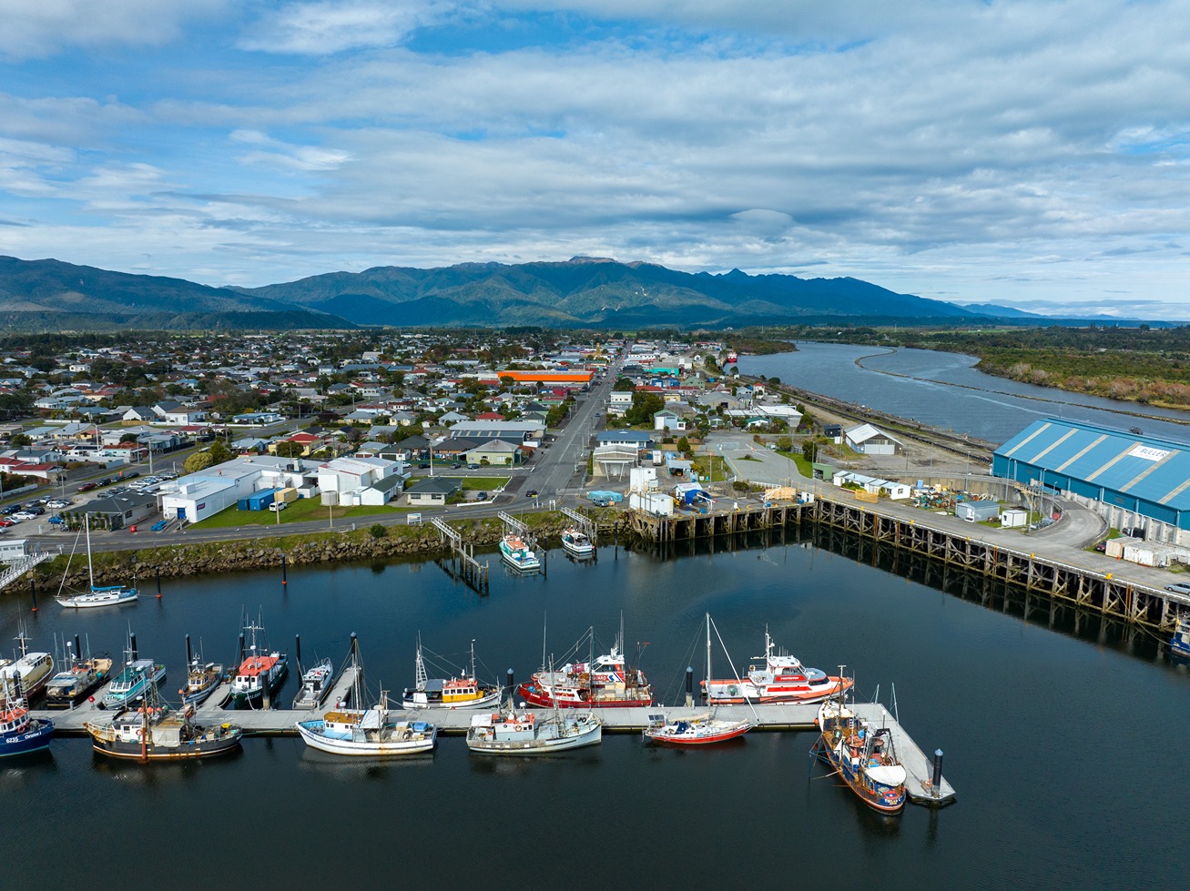
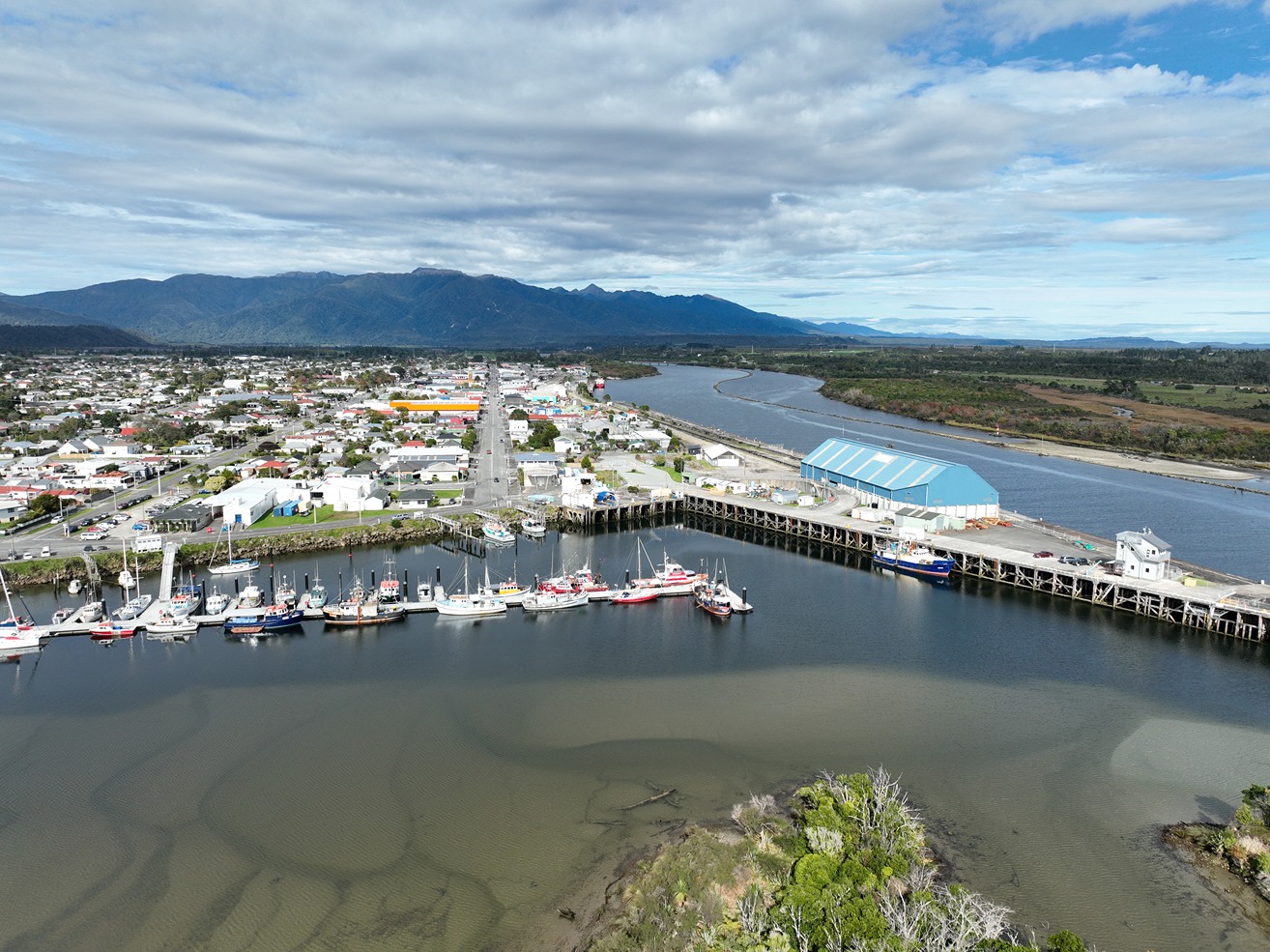
The Buller District Council has adopted the following Navigation and Safety Bylaws 2008, which apply to the Westport Harbour and the Westport Bar.
- The limits of Westport Harbour are as follows:
All that area of water bounded by a line commencing at the waters edge at high water ordinary spring tide, three nautical miles north-east of the true left bank of the Ngakawau River, thence on a bearing 310 degrees true distant 3 nautical miles, thence by a line to Cape Foulwind Lighthouse and having an inner limit being the seaward side of the State Highway 67 Bridge. (The limits of Westport Harbour are marked on the current NZ Chart No. 7132.) - The location of the Westport Bar is defined as follows:
The Bar seawards located within a l nautical mile radius centred on the signal station light on the West Breakwater of the Harbour.

